Lower Deschutes
Trout and steelhead water with real Class III rapids mixed in. Year-round flows below Pelton Dam, and the most-floated stretch of whitewater in Oregon.
The run
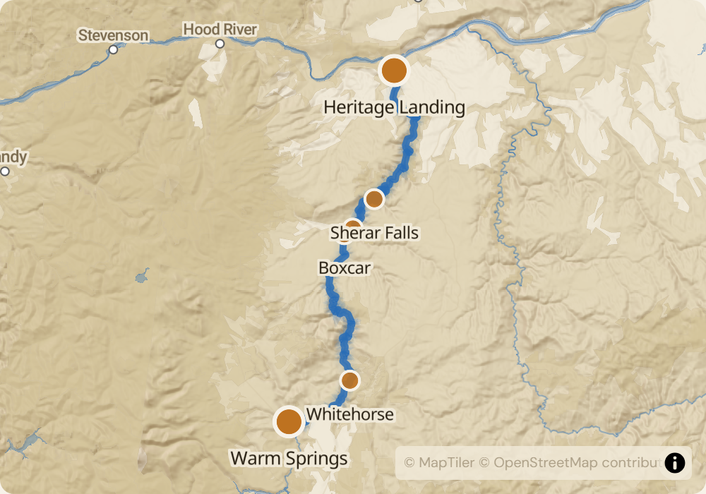
The Lower Deschutes runs 100 miles from Warm Springs to the Columbia River at Heritage Landing. Most parties do a section: Warm Springs to Trout Creek (45 miles, 3-4 days, wilderness character), Trout Creek to Maupin (12 miles, day trip, the most-floated whitewater in Oregon), Maupin to Sherar Falls (10 miles, advanced with a mandatory portage at the falls), or Sherar to Heritage Landing (45 miles, the lower canyon). Class III rapids throughout: Whitehorse (mile 14), Boxcar (mile 50), Oak Springs (mile 52), Whitewater (mile 58). The river is a blue-ribbon trout and steelhead fishery; expect to share water with fly anglers on every stretch.
The permit
A Boater Pass is required year-round, purchased through recreation.gov. Summer weekend passes for some sections are lottery; winter and weekday passes are first-come-first-served. Odds for summer weekends at Maupin-to-Sherar are around 30-50%. The permit office charges more during peak season. This is one of the few permitted rivers in the US that has essentially unlimited day-use access most of the year.
Timing
Pelton Dam keeps the Lower Deschutes at 3,500-5,500 CFS year-round. Summer (June-September) is peak season - warm days, steady flows, crowded at Maupin. Fall (October-November) is steelhead season and the canyon thins out. Winter (December-March) sees light traffic and the river is cold-water floatable with a drysuit. Spring (April-May) has the biggest water during runoff from tributaries and is the classic Boxcar Rapid window.
Logistics
Put-ins at Warm Springs (for the full upper run), Trout Creek, Harpham Flat, or Maupin depending on section. Take-outs at Trout Creek, Maupin, Sherar Falls Portage, or Heritage Landing. Shuttles are all paved road, $100-400 depending on distance. Maupin, OR is the commercial hub - outfitters, restaurants, gas, and a few motels. Portland is 2.5 hours west.
Monitor Lower Deschutes for cancellations
We poll recreation.gov every minute and email you the moment a permit opens up. No app, no hype, just the alert.
Start monitoring